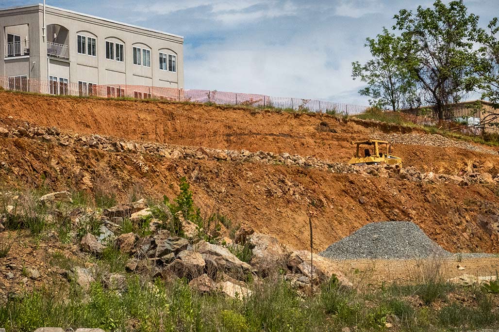
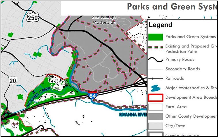
People in the City are nervous about the planning currently going on. What will the plan do to the City? How does the land use map work with zoning? What will it mean? The photo above is Franklin Hill, a forested hillside northwest of Monticello. Once upon a time the site of the Woolen Mills Park. The county land use map addresses this area, no worries! It is shown on the map. Parks and Green systems.
Nothing to worry about.
fabric of history
For more than one hundred years this was the Place. A community unified by kinship, workplace, church, and agrarian traditions.