Since the city and consultants first introduced the Future Land Use Map in 2021, right up until the most recent pop-ups held by consultants and NDS on the Draft Zoning Ordinance (DZO), residents have asked for visualizations of what actual Charlottesville streetscapes could look like under the new regulations. Neither the city nor its consultants have obliged. We believe that while visualizations do not function as arguments for or against the DZO, they are an indispensable tool for residents trying to form an opinion on various aspects of the proposal. We have therefore prepared several simulated visualization of specific blocks in Charlottesville — both to provide the tools that residents asked for and didn’t get and to show that there was no difficulty involved in preparing visualizations that could have reasonably prevented a competent consultant or NDS department from providing them. You can find the videos below. We anticipate the we will add more over time. If you have an area for which you’d like to see a visualization, please reach out to us via email. Please bear in mind that the purpose of the videos is to help give viewers a concrete sense of height, massing and coverage. These are not architectural renderings or surveys and are necessarily approximate. We do not suggest that the generic 3D models we used are predictive of the architectural styles developers would use or that the blocks we simulate are more likely than others to be redeveloped.–A Nonymous
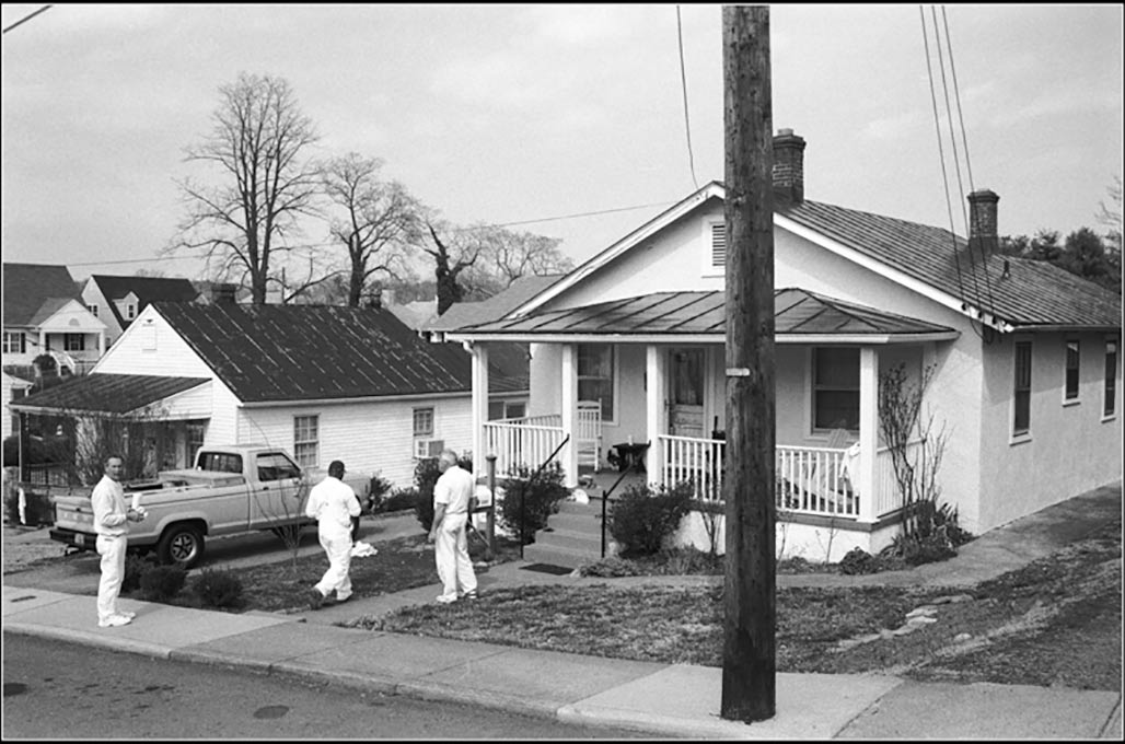
The houses on Meade and Chesapeake that are to be loaded with R-B and R-C zoning are and have traditionally been the houses of working people. They are peoples homes.