.
Judy Marie Johnson was born on March 22, 1942, and raised in Jamestown, NY, by her mother, Ruth Enlund Martin, and her grandparents, Richard and Sigrid Enlund. She graduated from Lycoming College and later earned a master’s degree in special education from Temple University. After graduate school, she traveled and worked in Europe, where she met her former husband, Butler Burton, with whom she had three children.
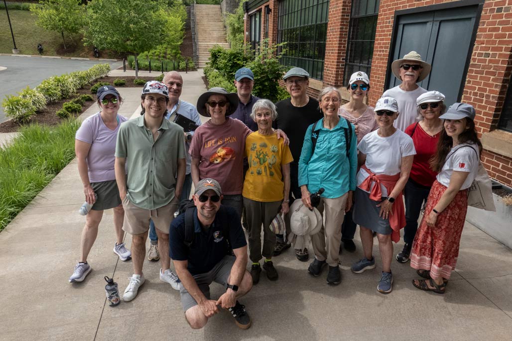
Judy lived a life marked by compassion, dedication, and activism. She worked in education and social services in Charlottesville, VA; St. Paul, MN; and the Netherlands before returning to Charlottesville in 1986, where she continued her work as an educator. She became an early advocate of the farm-to-table movement, serving as manager of the Charlottesville Farmers Market. In the late 1980s, she founded Renaissance Womyn Flowers and Gardens, designing flowers and gardens into her 80s. Judy had a deep appreciation for nature, nurturing beauty and life with every plant she tended.
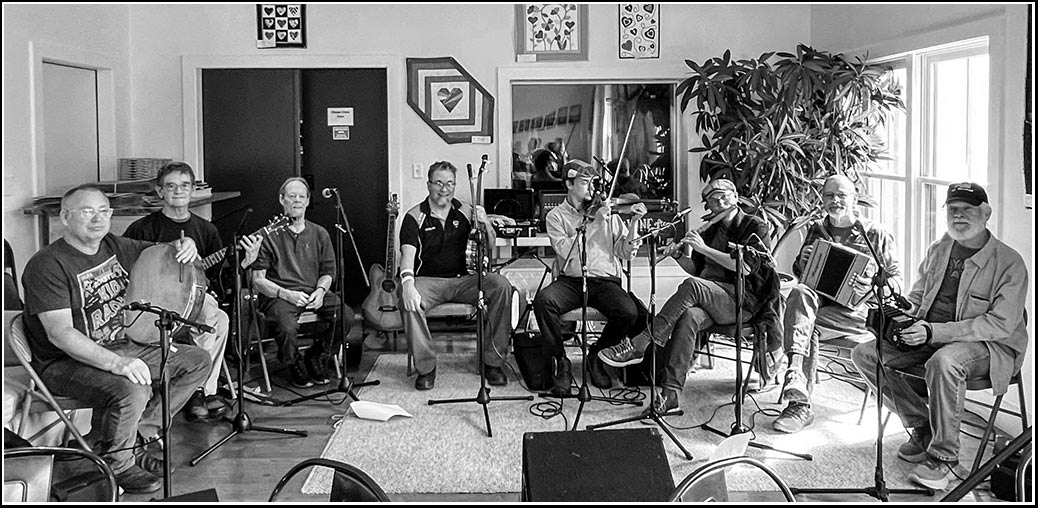
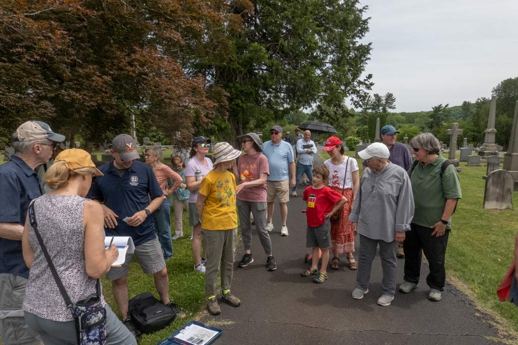
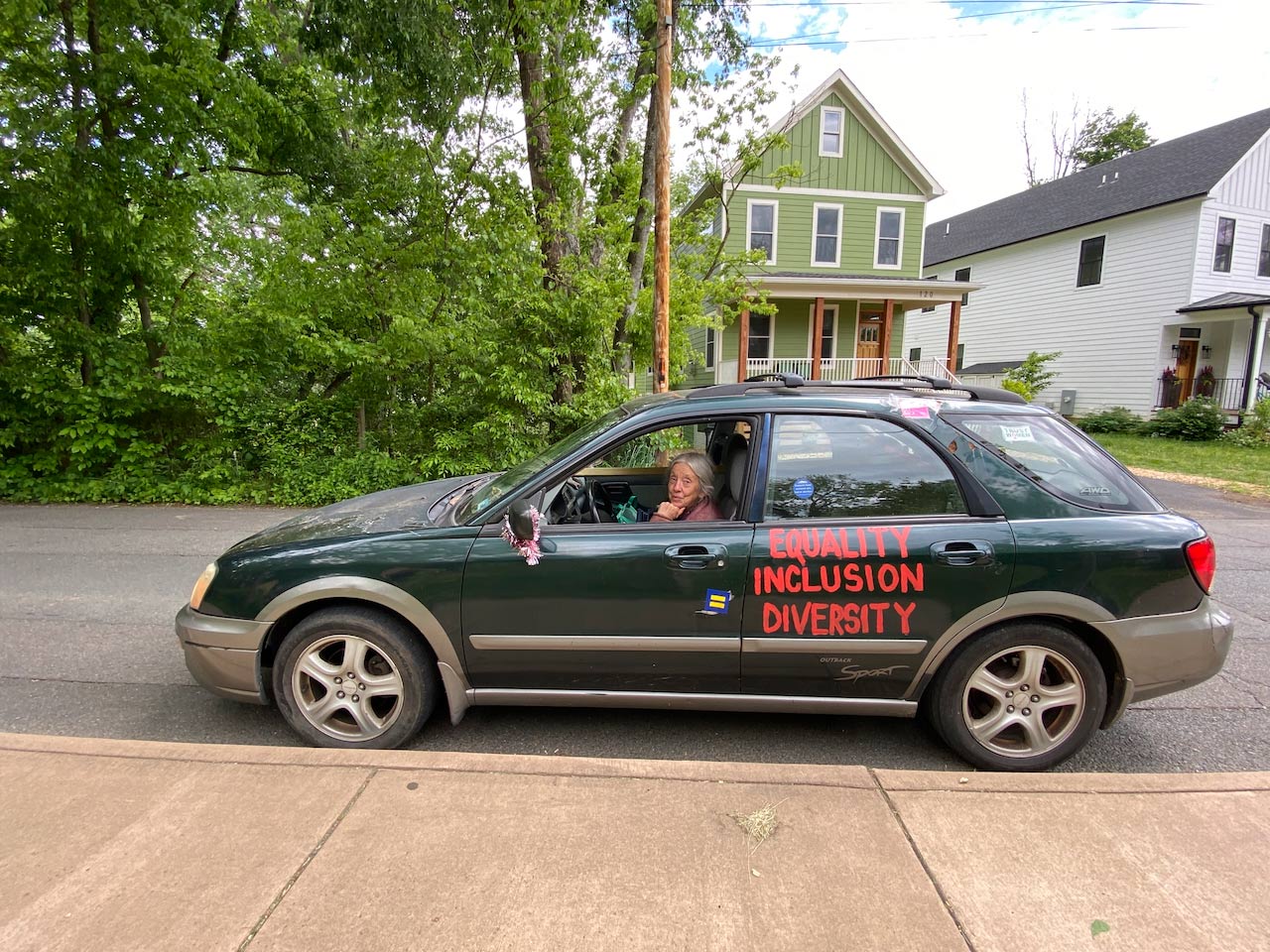
She was a passionate advocate for feminist, social, and environmental causes, attending countless protests and demonstrations over the years. She loved volunteering and providing floral bouquets to The Haven, Loaves & Fishes, and many other social service organizations. Judy valued creativity and self-expression throughout her life. She nurtured a love of art in her children and delighted in creating guerilla art installations around Charlottesville. Judy also had a lifelong love of music and was a valued member of the Charlottesville Women’s Choir, the Charlottesville Threshold Singers, and the Green Grannies.
She died peacefully on June 24, 2026, in Charlottesville at the age of 84. She was preceded in death by her mother and her sister, Kathie Johnson. She is survived by her children, Hannah Laurison of Philadelphia; Benjamin Burton of New York City; and Molly Comfort of Waynesboro, VA; her seven grandchildren, Ingrid and Charlie Laurison, Mia and Dean Burton, and Liam, Claire, and Eli Comfort, and many dear friends. Her legacy lives on through those who knew and loved her. May her memory bring comfort and peace to all whose lives she touched.
Donations in Judy’s name to the National Museum of Women in the Arts in Washington, DC, or Planned Parenthood are appreciated.
Compassionate Cremation Services of Ruckersville, VA is honored to serve the family.