Paul Goodloe McIntire’s Rivanna (03)

river bend

As agriculture and denser settlement developed along the Rivanna River local residents looked to the river to meet other important needs. The Rivanna provided waterpower to run mills that processed timber, grain, and wool. In many areas, tapping the river’s waterpower required the construction of dams that obstructed the older established patterns of river navigation. In the first third of the nineteenth century, the Rivanna Company and the Rivanna Navigation Company received state charters to undertake improvements, including canals and locks to carry boats around darns and river rapids. Thomas Jefferson’s 1771 hand copy of a survey of the lands of Nicholas Lewis, grandson of Nicholas Meriwether, nicely represents the vision of Charlottesville as a river community. The town and court square stand on the high ground separated by productive agricultural land from the Rivanna. Starting in the late-nineteenth and early twentieth century, this productive agricultural land, called The Farm, was taken out of agriculture and became a site for the expansion of Charlottesville settlement. This was also the same area where in 1920 Paul Goodloe McIntire sought to revitalize the connection amongst the town, the people, and the river-in the form of a major riverside park.

The Farm

The riverside lands had passed through several owners between Nicholas Lewis and developers of the late nineteenth and early twentieth century. John A.G. Davis purchased large tracts of Lewis’s plantation in the 1820s. Davis commissioned architect Thomas R. Blackburn for a design. He drew upon the talents of builders William B. Phillips and Malcolm F. Crawford­ who had just finished work on the University of Virginia–to construct a new plantation house overlooking the rich bottomlands along the Rivanna. In November 1840, Davis, a law professor, was shot and killed as he tried to calm a student riot at the University of Virginia. In 1848, William Farish purchased the plantation for his son, Thomas L. Farish, who continued the century-old pattern of cultivating the land. In 1860, the plantation had 300 acres of improved land and 180 acres of forests and meadows. Farish owned 13 horses, 4 mules, 13 milk cows, 4 oxen, 18 cattle, and 22 pigs. In 1860, his fields yielded 15,000 pounds of tobacco, 1,000 bushels of wheat, 2,250 bushels of corn, 50 tons of hay, and 40 bushels of potatoes, while his cows produced 205 pounds of butter. Thomas Farish and his family did not sow or harvest these agricultural products on their own; in 1860, Farish owned 37 slaves who worked his plantation. As a captain in the Confederate Army, Farish fought to preserve this system. At the conclusion of the Civil War, after losing his enslaved labor, Farish began to rent out his land to local farmers.

(Paul Goodloe McIntire’s Rivanna: The Unexecuted Plans For a River City is by Daniel Bluestone and Steven G. Meeks. This article was published in Volume 70 2012 of the Magazine of Albemarle County History by the Albemarle Charlottesville Historical Society. Copies of the Magazine are available at www.albemarlehistory.org)

Paul Goodloe McIntire’s Rivanna (02)

Rivanna River

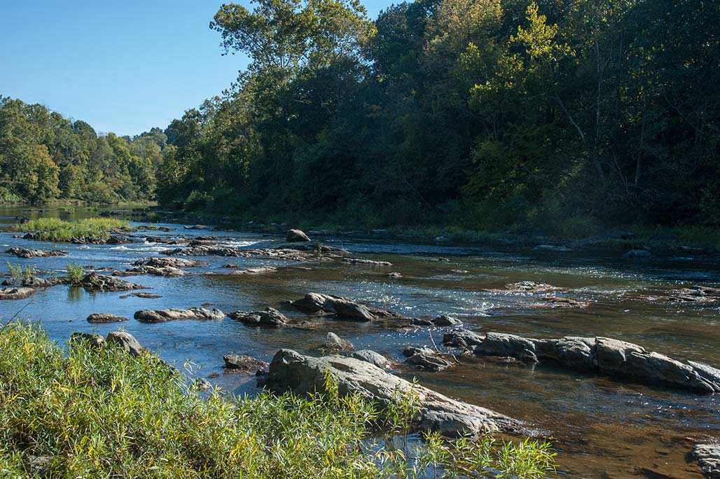
Historically, the Rivanna River played an essential role in the settlement, use, and development of the Charlottesville region. For Monacans and other native people, the river provided food, an important means of transportation, and a secular and spiritual landscape in which the riverbanks accommodated villages for the living and burial mounds for the dead. As Europeans and Africans and their descendants moved into the region in the early eighteenth century, the Rivanna River’s primacy continued. Settlers relocating from eastern Virginia traveled along the river system, up the James River to the Rivanna River; there they followed the Rivanna northwest through the passage in the Southwest Mountains into the Charlottesville region. In the 1730s, Peter Jefferson, William Randolph, Nicholas Meriwether, and others settled huge royal land patents, tracts that often took the Rivanna River as their border. The river and the lands along it were the most familiar, civilized, settled, and cultivated part of the region. The river’s name itself involved a gesture of culture and appropriation, honoring Queen Anne who reigned over England, Scotland, and Ireland from 1702-1714.

The significance of the Rivanna for early European settlers and their descendants was readily apparent in the way they established their claims to land. As they staked their land claims along the Rivanna in the eighteenth century, they used the river as a clear border. The settlers also counted on the river overflowing its banks during flooding and replenishing the agricultural lands with rich silt deposits. The river would also carry agricultural products, like tobacco and wheat, to market in Richmond, where they would continue to other markets on established waterborne commercial routes. Before Thomas Jefferson became president, he drew up a list of his chief public accomplishments. It is notable that the first item on his list was his success in the 1760s in getting an act of the Virginia Assembly that worked in concert with a privately raised subscription to clear obstructions from the Rivanna so that the river could “be used completely and fully for carrying down all our produce.”

(Paul Goodloe McIntire’s Rivanna: The Unexecuted Plans For a River City is by Daniel Bluestone and Steven G. Meeks. This article was published in Volume 70 2012 of the Magazine of Albemarle County History by the Albemarle Charlottesville Historical Society. Copies of the Magazine are available at www.albemarlehistory.org)
Paul Goodloe McIntire’s Rivanna: The Unexecuted Plans for a River City

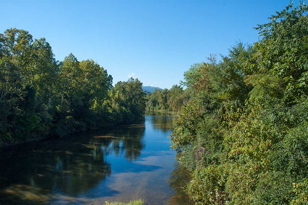
looking downstream from US 250

Paul Goodloe Mcintire (1860-1952) enjoyed considerable success in business and philanthropy. The son of a Charlottesville druggist, McIntire grew up adjacent to downtown on High Street. He attended the University of Virginia for a single term, leaving to enter business in Chicago. In 1896, he purchased a seat on the Chicago Stock Exchange and later took a seat on the New York Stock Exchange. After World War I, Mcintire began using his substantial investment wealth to build Charlottesville institutions and to shape its broad civic landscape. At the University of Virginia he endowed schools of commerce, music, and art, and he constructed a large outdoor amphitheater. He took the lead in Charlottesville’s City Beautiful embellishments, building a public library, a high school, monumental civic sculptures, and public parks. Mclntire’s success in these endeavors stood in sharp contrast to his 1920s failure to establish a major public park and a psychiatric hospital on lands along the Rivanna River.

If Mcintire had been as successful on the Rivanna as he had been in other areas, Charlottesville would have had a very different urban form, maintaining a much more palpable relationship to the river. Rather than receding from the consciousness of local residents, as it did in the second half of the twentieth century, the river, one of the region’s most significant environmental, cultural, and historical resources, would have continued to engage the interest, energy, and imagination of Charlottesville citizens. This essay explores the changing importance of the Rivanna River for Charlottesville residents as a way of better understanding McIntire’s riverside visions.

(Paul Goodloe McIntire’s Rivanna: The Unexecuted Plans For a River City is by Daniel Bluestone and Steven G. Meeks. This article was published in Volume 70 2012 of the Magazine of Albemarle County History by the Albemarle Charlottesville Historical Society. Copies of the Magazine are available at www.albemarlehistory.org)
our town


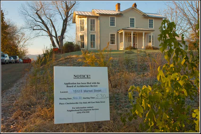
City Councilors are visiting the Woolen Mills October 3, 2013. The visit is part of an ongoing program “Our Town Charlottesville” where the Councilors go out and mix with the people, the governed, us. The meetings provide a moment when one can interact with the legislators on a more even footing than at a City Council meeting.
The time of the gathering is 6-8PM, the place, Woolen Mills Chapel, 1819 E Market Street. Food and childcare provided courtesy of your tax dollars. If you have questions you’d like to ask of your elected representatives, or feedback you’d like to provide for them, this is a good opportunity.
If you’d like to submit written questions in advance for the Councilors to ruminate I am compiling a list: billemory@gmail.com
or email the Councilors at council@charlottesville.org.

The Place


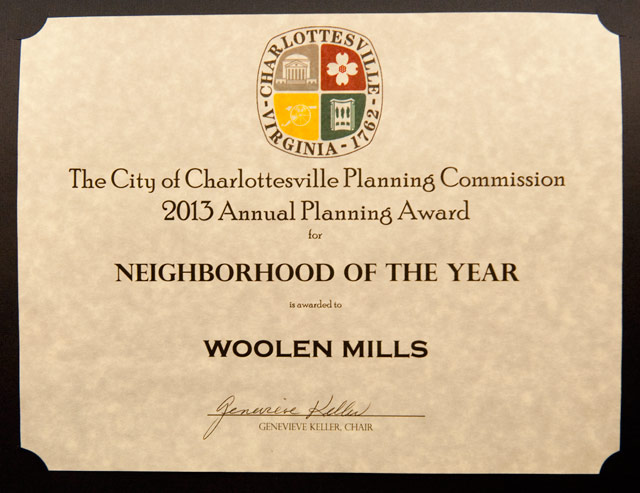
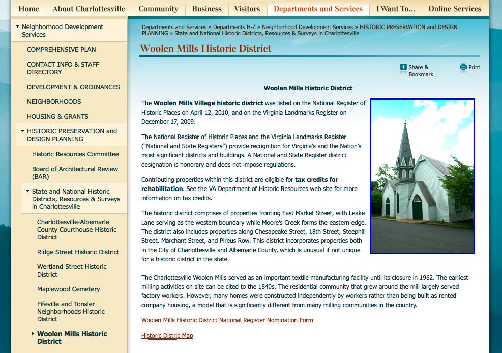
Neighborhood of the Year is awarded to the Woolen Mills.

The reasons are many, but not the least of which is the Woolen Mills neighborhood’s continued active participation in City planning discussions in an effort to enhance their neighborhood’s assets and, therefore, create unique assets for the entire Charlottesville community.
Ms. Victoria Dunham, Woolen Mills Neighborhood Association president is here to accept the award.-Charlottesville Planning Commission Tuesday, February 12, 2013

Woolen Mills Road (part 1)


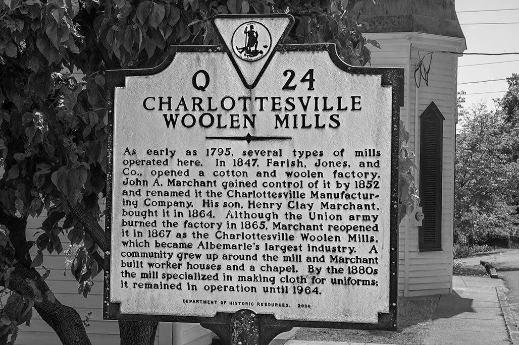
Short history of the Woolen Mills Village, in a bend of the Rivanna River, at the foot of Monticello Mountain in the Commonwealth of Virginia.
United States Department of the Interior National Park Service Woolen Mills Village Historic District, site number 002-1260.
Click here for part two.