Woolen Mills walking tour

Sunday May 11 thirty bipedal folk showed up for BPAC’s monthly neighborhood walking tour.

We walked and talked. Didn’t manage to go everywhere and see everything. But we did see where Woolies worked, where they went to Sunday school…

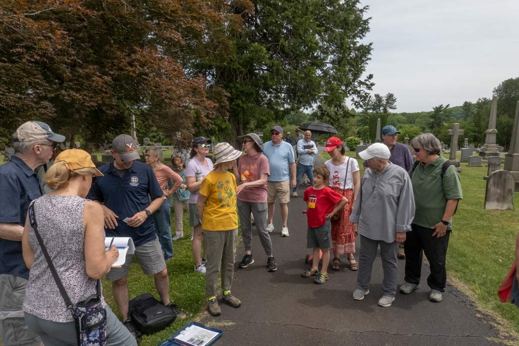
Where they were laid to rest.

Ben Chambers and Tommy Safranek of the City planned the route. Julie Basic of the Historic Resources Committee supplied an excellent historic fact sheet. The weather was perfect.

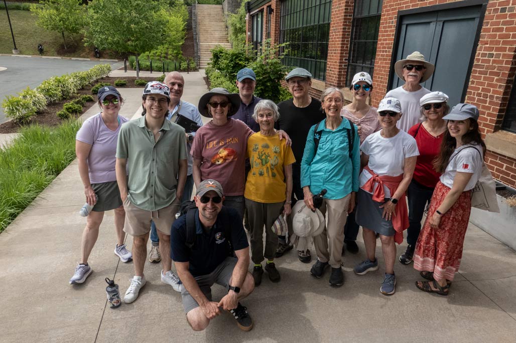
We talked about asphalt, sidewalks, fire engines, life in the 19th century, zoning, flood plain fill, alleys, easements, right sized streets, cut through traffic, historic rehabilitation, affordable housing, sewer sheds, water treatment, giant sequoias, trespassing. We talked about Dominion Power, the Railroad, Bagby Circus Grounds, Parks and Rec, the car jumping the railroad track, the car hitting a house. The senior silo. The young people taking care of the old folk. It was a hardy group. We had an excellent time.

Transmutation. Gold to lead.

Photo from above the site looking south-west, Franklin Street wetlands to the left, City neighborhood to the right.

Photo from above the site looking north-west, working peoples’ homes.

Photo from above the site looking north-north-east

Photo from above the site looking down. Franklin street wetland to the left, a portion of the proposed site in the middle, Carter’s Breads to the right.

Photo from above Carter’s Breads looking south

I write regarding SP202400026, a request to grade and fill 1.5 acres of the Rivanna floodplain adjacent to the seven acre Franklin Street wetland conserved by the RWSA.
Biodiverse land adjacent to river systems, land which provides inestimable environmental services being zoned as “industrial” is an obsolete and ill-informed and destructive practice.
For decades the County’s policy has been to protect wetlands and floodplains wherever possible. Retaining and restoring land cover near streams is fundamental for biodiversity, water quality and the common good. Such conservation is a first rate example of the purpose and benefits of planning. https://law.lis.virginia.gov/vacode/title15.2/chapter22/section15.2-2223/
Typical site-specific studies and models almost always show flooding changes are projected to be minimal. However, the cumulative effects of reducing floodplains exact a price professional planning can avoid.
Just say no.


signage

sign #1 west of Meade Avenue
For decades Woolen Mills neighbors have asked the City for relief from “cut through” traffic, vehicles using neighborhood streets to avoid traffic lights. The step in that direction from the city has been signage. We are a City of literati and surely, the written word should suffice. The above is the first sign on E Market warning truck drivers.
sign #2 west of Meade
The second sign strongly suggests that tractor trailers turn right…
3rd sign east of Meade
Dead end! This third sign is within the area the City designates as the Woolen Mills neighborhood.
truck at the county line
And so, vehicles proceed. Maybe they didn’t understand? Maybe they thought the warning applied to others?
damage to local infrastructure
I think the yellow signs are advisory. They are a suggestion. I don’t think the drivers get tickets for their incursions or suffer financial penalties for the items they break.
RTF sign
Recently the TJPDC voted to raise the Federal Classification of our neighborhood streets to a more intense category “minor collector”. Will that help?

Possibly employ a different advisory sign?