like a bad penny
What’s happening?
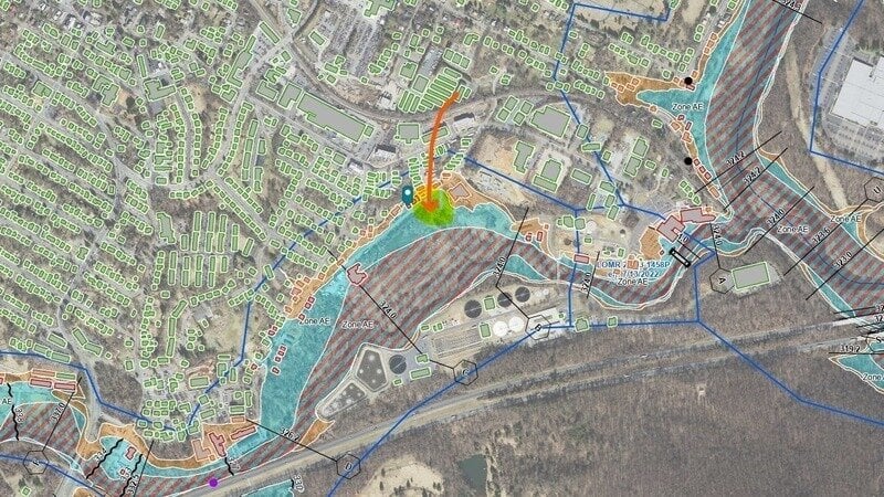
In June 2025, the Board of Supervisors denied a request to dump fill in the Moore’s Creek floodplain.
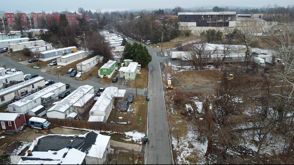
The developer has fast-tracked back with a revised plan: 4 buildings + parking on a site zoned Light Industrial (not residential, not mixed-use).
The developer is already approved for and building 160,000 sq feet of light industrial space on the foot hill that drains into this flood plain and into Moore’s Creek, which outlets into the Rivanna just beyond the Woolen Mills.
Board of Supervisors meets Wednesday, January 14 at 6 PM (Lane Auditorium, 401 McIntire Rd) to hold a public hearing and vote on this matter.
Visit for more information and sign petition
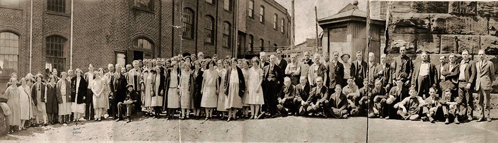
Jean Visits at the Mill with Nellie Melton Annie Baltimore’s oldest sister (nee Marion) and Ethel Leathers Marion, uncle George’s wife. Both had worked at the mill.